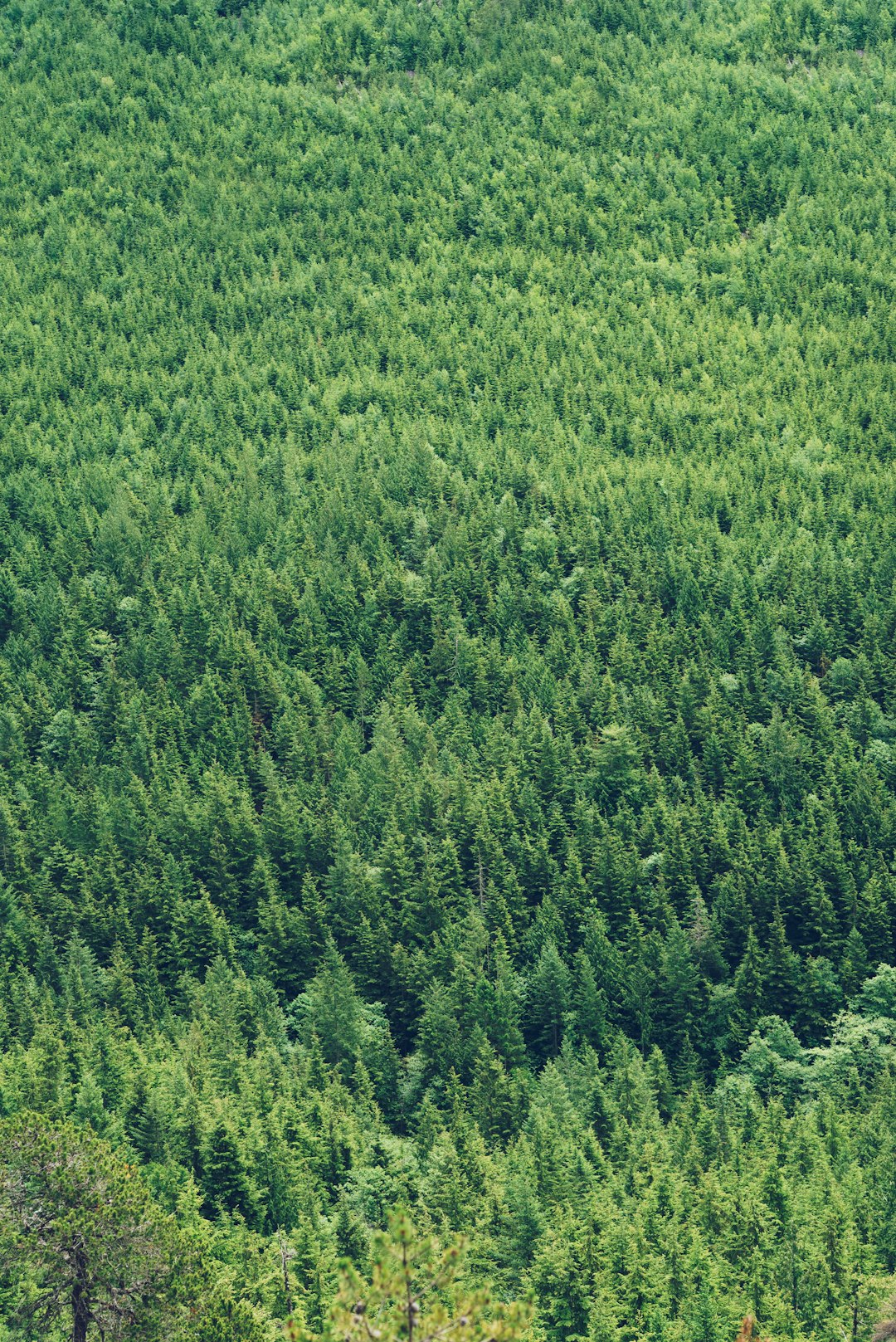
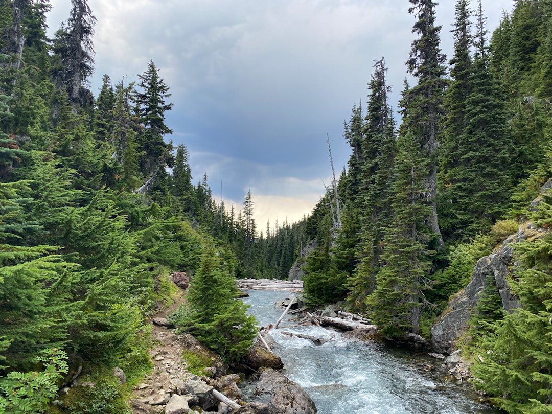
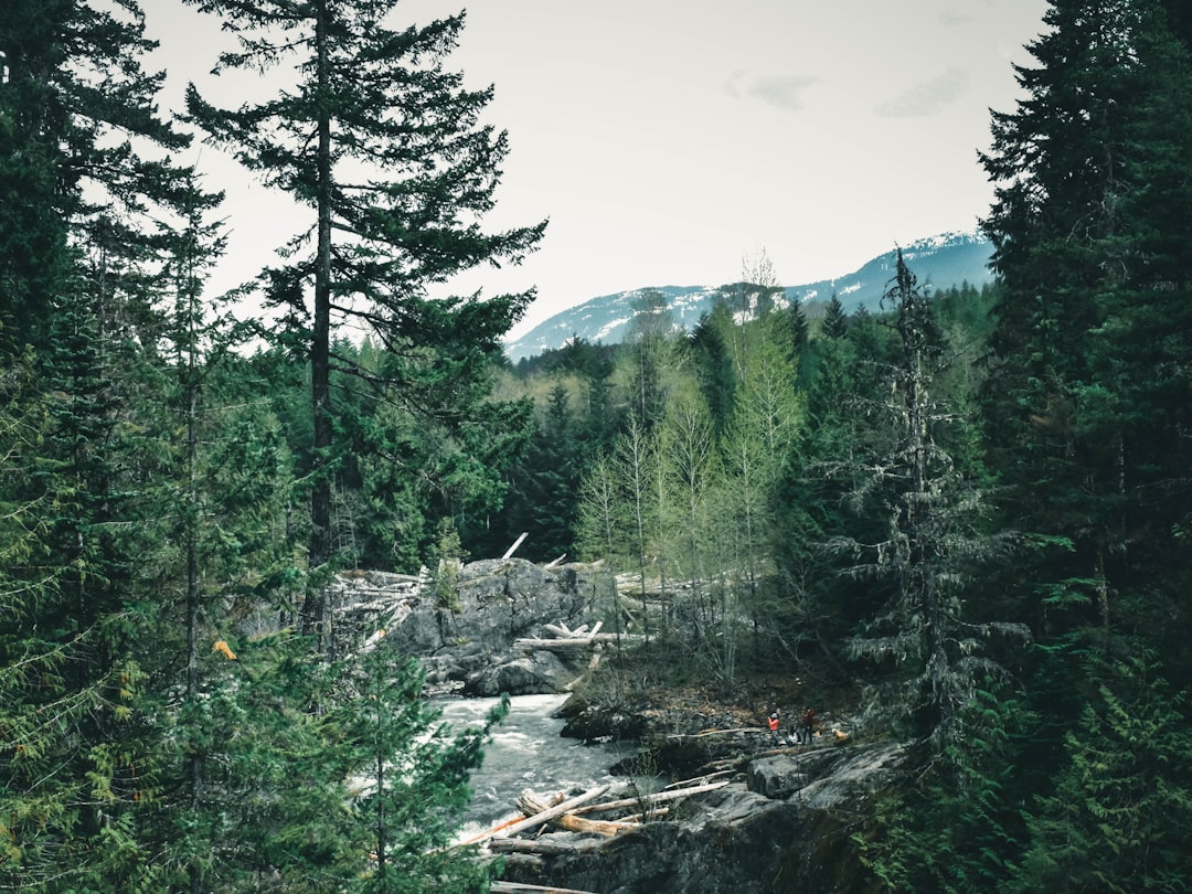
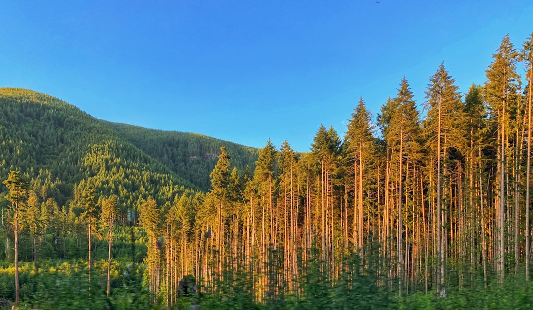
The Best Tropical and subtropical coniferous forests Photo Spots around Horseshoe Bay in Canada
Explore Tropical and subtropical coniferous forests pictures of Horseshoe Bay with the travel spots on a map
Download the Travel Map of Canada on Google Maps here
8 Tropical and subtropical coniferous forests Spots of Horseshoe Bay on a Map
Pictures of Tropical and subtropical coniferous forests on the interacive map of Horseshoe Bay
Download On Google Maps 🗺️📲Tropical and subtropical coniferous forests Spots and Pictures around Horseshoe Bay
Discover popular destinations in Horseshoe Bay with their travel guides
Horseshoe Bay
Read the Travel guide View on Google Maps
Capilano Suspension Bridge
12 km away from Horseshoe Bay
Read the Travel guide View on Google Maps
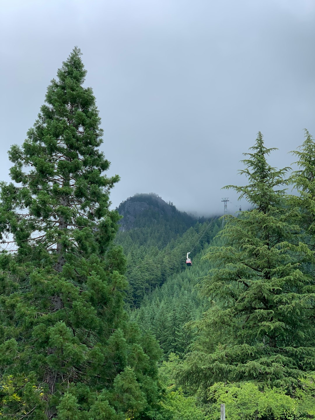
Grouse Mountain Skyride
13 km away from Horseshoe Bay
Read the Travel guide View on Google Maps
Vancouver
15 km away from Horseshoe Bay
Read the Travel guide View on Google Maps
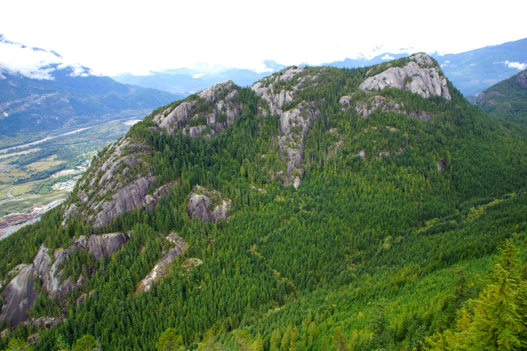
Stawamus Chief
36 km away from Horseshoe Bay
Read the Travel guide View on Google Maps
Garibaldi Provincial Park
66 km away from Horseshoe Bay
Read the Travel guide View on Google Maps
Whistler
86 km away from Horseshoe Bay
Read the Travel guide View on Google Maps
11067–11213 Youbou Rd
90 km away from Horseshoe Bay
Read the Travel guide View on Google Maps
Book your Travel Experience in Horseshoe Bay
Discover the best tours and activities in Horseshoe Bay and book your travel experience today with our booking partners
Learn More about Horseshoe Bay
Find Hotels in Horseshoe Bay
Discover the best hotels around Horseshoe Bay, Canada and book your stay today with our booking partner booking.com